


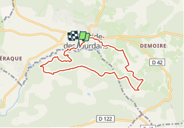

40 km | 49 km-effort


User


FREE GPS app for hiking
 SityTrail
IGN / Geographical institutes
SityTrail World
The world is yours!
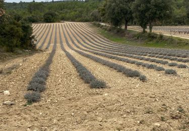
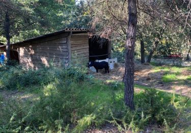
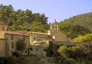
Trail Walking of 8.4 km to be discovered at Provence-Alpes-Côte d'Azur, Vaucluse, La Bastide-des-Jourdans. This trail is proposed by bpeluso.
Avec visite de la crèche
Cycle

Walking
Walking
Walking
Walking
Walking

Mountain bike
Walking
Cycle